
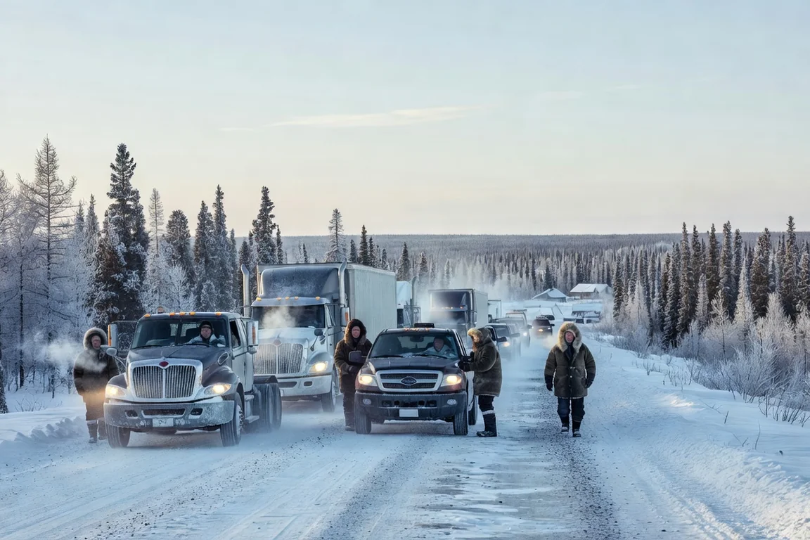
In 2026, no public road connects Nunavik’s 14 villages to Quebec’s highway network. Land access to the territory is limited to a few marked winter corridors — the roughly 500-kilometre White Trail snowmobile route is the best known — while in Eeyou Istchee, the James Bay Road links Matagami to Radisson over 620 kilometres and remains the backbone of all southern access. For people and freight alike, aircraft and resupply ships are still the dominant modes.
This feature maps those corridors as they actually are, without marketing slides or wishful maps: what exists, what is seasonal, what is in preparation, and what all of it means for organizations that live and work in northern Quebec.
What actually exists in 2026
Start with the point that standard road maps render poorly: the Nord-du-Québec territory splits into two radically different realities of land connectivity.
On one side, Eeyou Istchee and the Jamésie have permanent road access, centred on the James Bay Road. On the other, Nunavik — 443,372 km² according to Statistics Canada data carried by reference encyclopedias, a territory larger than France — is connected to nothing. No public road enters it by car at any time of year.
Real access modes therefore break down as follows:
- Aircraft: the only fast, year-round access, served notably by Air Inuit in Nunavik — a subject we cover in detail in our feature on air transport in Nunavik and its subsidy programs.
- Resupply ships (sealift): a summer-only window, roughly June to fall, operated notably by NEAS.
- Seasonal land corridors: groomed snowmobile trails in winter, including the White Trail, open to off-road vehicles only.
- Permanent roads of Eeyou Istchee: around the James Bay Road and the secondary roads that branch off it.
The James Bay Road: 620 kilometres of backbone
The James Bay Road, renamed the Billy Diamond Highway, starts at Matagami — already 620 kilometres north of Montreal — and runs straight north to Radisson, on the La Grande River, for a total of roughly 620 kilometres of gravel and paved sections depending on the stretch.
It is a permanent, year-round road, but the word “permanent” needs qualification in winter. The reference guide jamesbayroad.com, relied on by travellers for years, restates two rules that have not changed: driving is officially prohibited at night in winter, between 8 p.m. and 8 a.m., and the central section, several hundred kilometres long, has no gas station, no store and no roadside assistance. In winter, a poorly prepared vehicle on this corridor is not an incident — it is a survival emergency.
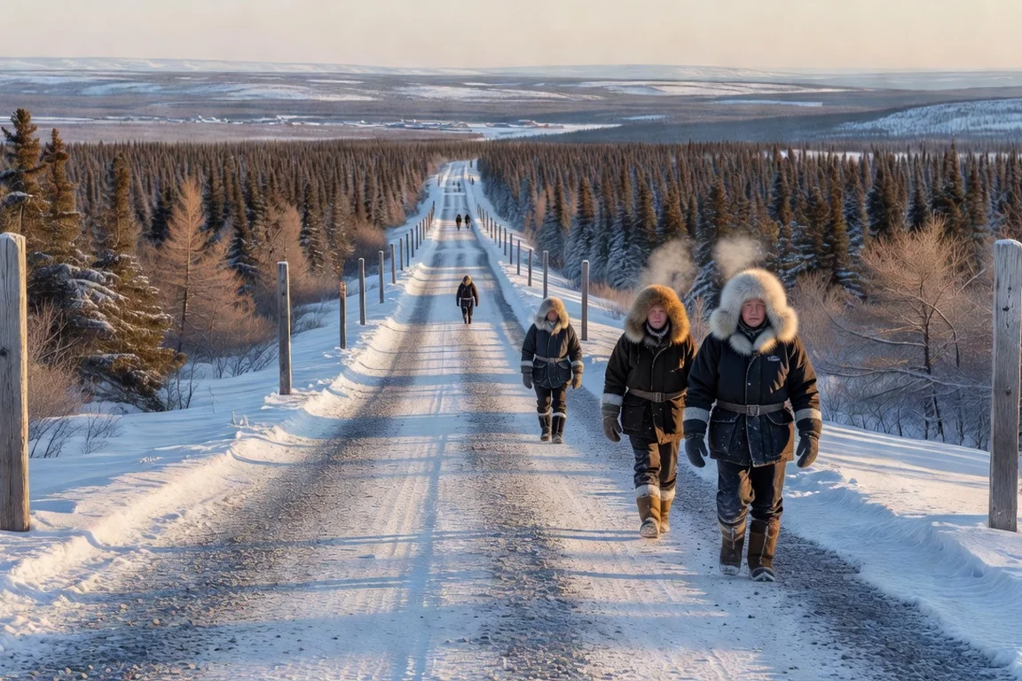
Radisson, at kilometre 617 according to official markers, is the northern terminus of the road. Secondary access to Cree communities branches off around Radisson and at kilometre 275 along the Robert-Bourassa reservoir, and it is from here that extension projects toward Hudson Bay have been discussed for more than fifteen years.
The White Trail and Nunavik’s winter corridors
When people say “ice roads” in Nunavik, precision matters: these are not ice roads in the Northwest Territories sense, where heavy trucks literally drive on frozen water — the Tibbitt to Contwoyto winter road in neighbouring Nunavut only takes heavy traffic about two months each winter, according to Destination Canada. In Nunavik, the main winter corridor is a snowmobile trail: the White Trail.
Documented by northern travel guides as early as 2020, the White Trail runs roughly 500 kilometres along Quebec’s North Shore and links several isolated villages when ice and snow conditions allow. It serves as a social link, a freight and equipment corridor, and an access route to hunting grounds and backcountry. Local operators offer guided crossings, and safety rules are strict: a well-maintained snowmobile, full winter gear, radio or satellite communication, and experienced convoy travel for newcomers.
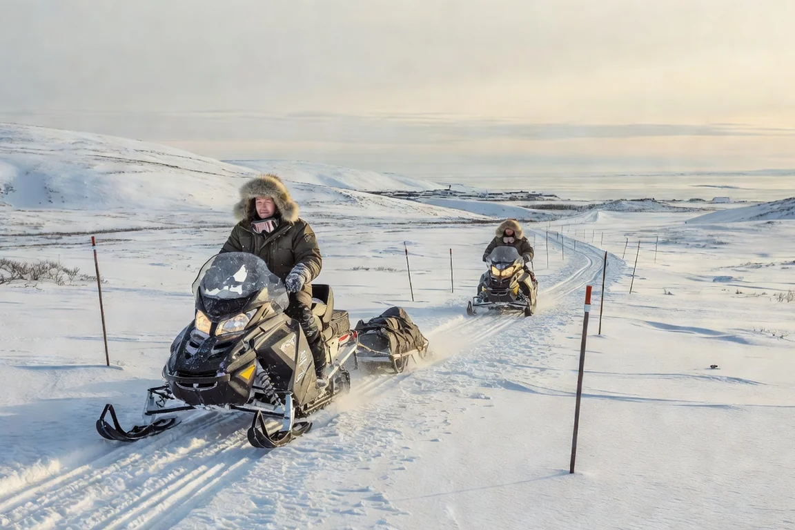
The key point for any logistics planner: these corridors are seasonal, marked and limited to off-road vehicles. They replace neither the truck nor the cargo ship, and they will not open to cars in their current configuration. As a documented comparison, the only heavy road access in the neighbouring Northwest Territories — the Inuvik to Tuktoyaktuk highway — became a permanent road in 2017, but Quebec has no equivalent precedent to date.
The sealift, the road’s great complement
In a territory with no roads, maritime resupply plays the role a highway network plays elsewhere. NEAS (Nunavik Eastern Arctic Shipping), in which Makivik holds an interest, is the central operator: according to its own releases, the company opened its 2024 season on June 11, 2024, and its 2025 season on June 9, 2025, and published a preliminary 2026 schedule as early as April 6, 2026. In 2024, NEAS also strengthened its fleet with the addition of the versatile MV Ukpik, as reported by Arctic Today.
What the sealift carries is the heavy, bulky freight no aircraft can move at a reasonable cost:
- construction materials and site equipment;
- vehicles, heavy machinery and industrial parts;
- fuel and reserve containers;
- IT hardware, servers and technical equipment shipped by container.
The window is short — a few months between June and fall — and anything that misses it waits until the following year or flies as air cargo, at a cost of an entirely different order of magnitude. This is precisely the constraint that drone delivery for isolated communities seeks to work around for urgent, lightweight shipments, as we have documented.
Driving north in winter: preparation is everything
Whether on the James Bay Road or on Nunavik’s snowmobile corridors, winter turns every trip into a preparation project. The recurring instructions from northern travel guides and trail operators boil down to this:
- Full fuel autonomy: plan your range with a comfortable margin, because fuel stops number in the single digits along these corridors — and some sections have none at all;
- A cold-weather survival kit: spare clothing, a sleeping bag, food and water, a first-aid kit, candles and matches, a shovel and sand;
- Communication that works off-grid: VHF radio, satellite phone or satellite messenger — no northern corridor guarantees cellular coverage, and assuming coverage is a classic mistake for southern teams;
- Convoy travel, never solo: the golden rule of winter trails is to ride with at least two machines, leaving your route and schedule with someone in the village;
- Weather margin: plan for the possibility that your return window closes for several days.
That last point is not abstract caution. Northern airlines and shipping operators manage every season around ice, fog and storm margins, and land corridors answer to the same constraints. A technical deployment that assumes a single, tight winter intervention window is a poorly planned one; field practice is to budget spare days at both ends of the window.
The Grand Alliance: what is actually in preparation
Since February 17, 2020, the Cree Nation of Eeyou Istchee and the Government of Quebec have been bound by the Grand Alliance, a 30-year framework agreement covering road, rail and development infrastructure. In March 2021, the Cree Development Corporation launched pre-feasibility studies for phases II and III, according to its official release.
On the Nunavik side, the idea of a road link between Radisson and Whapmagoostui–Kuujjuarapik, at the mouth of the Great Whale River, has been publicly debated since at least 2009 — the newspaper The Nation was already running a feature on it back then, weighing promises of opening up the territory against environmental concerns. Seventeen years later, no section has opened, and the debate over costs, permafrost impacts, caribou and trapping territories remains open.
The honest conclusion: northern Quebec’s land corridors will remain a seasonal patchwork for years to come. Any organization planning travel, construction sites or technical deployments in the region must build its timelines on ground reality — aircraft, sealift and winter trails — rather than on project maps.
The corridor table at a glance
| Corridor / mode | Status in 2026 | Source / year |
|---|---|---|
| James Bay Road (Matagami–Radisson, ~620 km) | Permanent year-round road; night driving banned in winter (8 p.m.–8 a.m.); no services on the central section | jamesbayroad.com / 2026 |
| Eeyou Istchee secondary access (around Radisson and km 275) | Permanent roads linking several Cree communities | regional guides / 2026 |
| White Trail, Nunavik North Shore (~500 km) | Marked snowmobile trail, winter only, off-road vehicles | northern travel guides / 2020 |
| Radisson–Whapmagoostui–Kuujjuarapik extension | Debated project, not built | The Nation / 2009 |
| Grand Alliance road and rail links | Framework agreement signed; pre-feasibility studies launched | CDC, release / 2020–2021 |
| NEAS sealift (summer maritime resupply) | 2025 season opened June 9, 2025; preliminary 2026 schedule published April 6, 2026 | NEAS / 2025–2026 |
What this means for organizations
At Soleica, this is a field observation: deploying IT infrastructure, a connectivity system or a support team in northern Quebec is first a logistics calendar problem, before it is a technical one. Heavy hardware and servers travel by sealift or cargo aircraft; technicians travel by plane; and winter field windows depend on snowmobile corridors and flying conditions.
Preparing such a deployment starts months ahead: aligning equipment orders with the resupply window, planning spare parts on site rather than in air transit, and checking that each village actually has the internet connectivity that serves it — because a technician weathered in at Kuujjuaq cannot simply drive to Salluit. And when travel is impossible, the model of remote IT support designed for Nunavik and northern Quebec takes over to troubleshoot teams and equipment. For travellers and teams preparing a stay, our guide to community tourism in Eeyou Istchee restates the same principles of caution and respect for local realities.
One last benchmark for scale: in the neighbouring Northwest Territories, a documented network of seasonal ice roads carries heavy winter traffic, and the conversion of the Inuvik to Tuktoyaktuk highway into a permanent road in 2017 cost hundreds of millions of dollars for roughly 140 kilometres — a reference that gives the order of magnitude of what every new kilometre of corridor beyond the 55th parallel entails. It is this cost context that frames Quebec’s Grand Alliance debates, and it explains why projects there advance through feasibility phases rather than construction announcements.
The North’s golden rule does not change: you never set out assuming there will be a road. You set out checking that there is a flight, a cargo ship, or a snowmobile — and you plan for all three.
Frequently asked questions
Can you drive to Nunavik in 2026?
No. As of 2026, no public road connects Nunavik's 14 villages to Quebec's road network. Land access to the territory is limited to a few marked winter corridors — most notably the snowmobile route known as the White Trail — and these are not open to automobiles. For a road vehicle, the northernmost you can drive is Radisson via the James Bay Road, with no road connection onward to Nunavik's coastal villages. Passenger and freight transport therefore relies on aircraft and ships.
What is the longest road into northern Quebec?
The James Bay Road, also called the Billy Diamond Highway, runs from Matagami to Radisson over roughly 620 kilometres through the boreal forest. It is the main land approach to the Eeyou Istchee territory and the Jamésie region. It is open year-round, but winter conditions are demanding: the reference guide jamesbayroad.com notes that night driving is officially prohibited in winter, between 8 p.m. and 8 a.m., and that no services exist along the central section of the road.
What is the White Trail in Nunavik?
The White Trail is a roughly 500-kilometre snowmobile route linking several isolated villages on Quebec's North Shore in winter, when waterways and lakes are frozen. Documented by northern travel guides since 2020, it is the only seasonal land link between some communities, used both for moving goods and equipment and for personal travel. It is a marked, groomed snowmobile trail — not a road open to cars.
What is the Grand Alliance and what does it mean for roads?
The Grand Alliance is a 30-year framework agreement signed on February 17, 2020, between the Cree Nation of Eeyou Istchee and the Government of Quebec, covering road, rail and development infrastructure projects. In March 2021, the Cree Development Corporation launched pre-feasibility studies for phases II and III, which include access links to communities still without road connections. Talks about extending the road from Radisson toward Whapmagoostui–Kuujjuarapik on Hudson Bay go back to at least 2009 and remain unrealized to this day.
When does the maritime resupply season start in Nunavik?
The summer sealift is Nunavik's main logistics window. According to NEAS (Nunavik Eastern Arctic Shipping) releases, the 2024 season began on June 11, 2024, the 2025 season on June 9, 2025, and a preliminary 2026 sailing schedule was published as early as April 6, 2026. Outside that window, which runs from June into the fall, heavy freight moves by cargo aircraft at a much higher cost.