
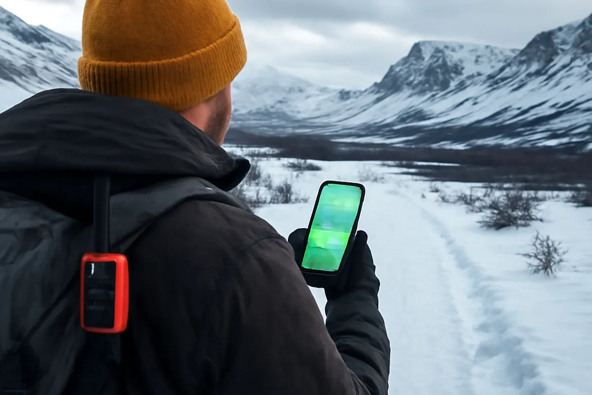
Living in or traveling to the remote areas of Northern Quebec, such as Nunavik, requires a unique set of digital tools adapted to harsh, isolated environments. With limited connectivity, severe weather conditions, and vast expanses of wilderness, the choice of apps and devices becomes crucial for safety, convenience, and communication. This guide provides a comprehensive look at the essential digital tools for residents, visitors, and professionals in Northern Quebec in 2026.
Why standard digital tools fall short in the Far North
In the Far North, many of the digital tools that people rely on in urban areas simply don’t work effectively. The challenges here are unique—ranging from limited cellular coverage to extreme weather conditions that can affect device functionality. Traditional apps often assume continuous internet connectivity, which is rarely available in Nunavik’s remote locations.
Key Challenges:
- Limited Connectivity: Even with advancements in 4G/5G cellular coverage in Nunavik, many areas remain off the grid, making it difficult to access real-time data. This lack of connectivity can be particularly challenging for emergency services, which rely on timely information to coordinate responses effectively. Only a limited portion of Nunavik is covered by reliable cellular networks, highlighting the necessity for alternative communication methods. Additionally, the reliance on satellite communication has been steadily increasing in recent years, as more users turn to satellite-based solutions.
- Extreme Weather: Devices can fail in sub-zero temperatures, and battery life is significantly reduced. For instance, a smartphone that typically lasts a day in urban settings might only last a few hours in -30°C conditions, necessitating frequent recharges or the use of insulated cases to preserve battery life. Many residents report experiencing some form of device malfunction due to weather within their first year in the region. Moreover, protective cases with thermal insulation have become a standard purchase for new residents, further underlining the need for specialized equipment.
- Geographic Isolation: Vast distances between communities mean that real-time communication tools can be unreliable. A simple task like updating a GPS location can take significantly longer, which can be perilous if immediate navigation is needed in a survival situation. Settlements in Nunavik are often separated by considerable distances, complicating coordination and travel logistics. In response, a growing number of travelers have been adopting offline-ready navigation devices, a trend that has grown steadily in recent years.
Key takeaway: Relying solely on online apps in the Far North can be a significant risk. Offline capabilities and durable hardware are essential for safety and efficiency.
Essential offline mapping applications
For navigation in Nunavik, offline mapping apps are indispensable. These applications allow users to download maps before they venture into areas without internet access, providing detailed terrain data, trails, and points of interest. This functionality is crucial for both safety and planning, allowing users to navigate effectively even when off the grid.
Recommended Offline Mapping Apps:
- Maps.me: Known for its detailed maps and offline functionality. It allows users to download entire countries’ maps, which is critical in remote areas. A hiker in the Torngat Mountains, for example, can access detailed topographic maps without needing a network connection, which is vital for planning routes and avoiding hazardous terrain. Maps.me is widely regarded as a top choice for backcountry travelers due to its comprehensive map details. A large share of outdoor enthusiasts in the region rely on Maps.me for their journeys. The app’s ability to update maps with community feedback ensures that users have access to the most current data available.
- Gaia GPS: Offers topographic maps and is ideal for hiking and outdoor activities. Its offline mode is robust and reliable. Outdoor enthusiasts appreciate its ability to overlay public and private lands, ensuring they respect property boundaries while exploring. Several users have highlighted Gaia GPS’s effectiveness in preventing trespass incidents by clearly delineating land ownership. Additionally, its integration with satellite communicators has enhanced its usability, providing users with a reliable safety net. Users have praised the app’s real-time tracking capabilities, which have been instrumental in ensuring safe exploration in isolated areas.
- OsmAnd: Provides access to OpenStreetMap data, with options for offline navigation and custom map layers. This app can be particularly useful for those interested in exploring less-traveled paths, as users can contribute and edit maps, fostering a community-driven approach to navigation. OsmAnd has continued to develop features allowing users to contribute real-time feedback directly from their devices, further enhancing its community-driven model. The app’s ability to customize layers based on specific needs, such as cycling routes or hiking trails, makes it highly adaptable for various outdoor activities.
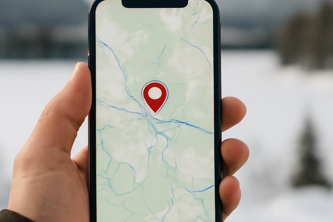
Checklist: Before heading out, ensure your maps are downloaded, your device is fully charged, and you have a backup power source. Additionally, familiarize yourself with the lexicon of 30 essential Nunavik and Eeyou Istchee terms to enhance communication and navigation experiences.
Personal satellite communicators: comparison and uses
In the absence of cellular networks, personal satellite communicators become vital. These devices allow users to send messages, share their location, and trigger emergency alerts from virtually anywhere. They have become indispensable tools for adventurers and professionals working in remote regions where traditional communication methods fail.
Comparison of Popular Satellite Communicators:
| Device | Features | Cost |
|---|---|---|
| Garmin inReach Mini | Two-way messaging, GPS, SOS capabilities | $350 USD |
| SPOT X | Two-way messaging, SOS, and social media links | $250 USD |
| Bivy Stick | Connects to phones for messaging and GPS | $350 USD |
The Garmin inReach Mini, for example, is favored by mountaineers for its compact size and reliable SOS functionality, which have been lifesavers in critical situations. SPOT X, on the other hand, appeals to those who wish to keep connected with their social media followers even while off the beaten path, offering a unique blend of safety and connectivity. Many remote workers in Nunavik report a preference for Garmin due to its seamless integration with other navigation tools. The Bivy Stick has also gained popularity, particularly among researchers who value its ability to connect seamlessly with smartphones for extended communication capability. Its versatility is further enhanced by its compatibility with a range of outdoor apps, providing a comprehensive communication solution.
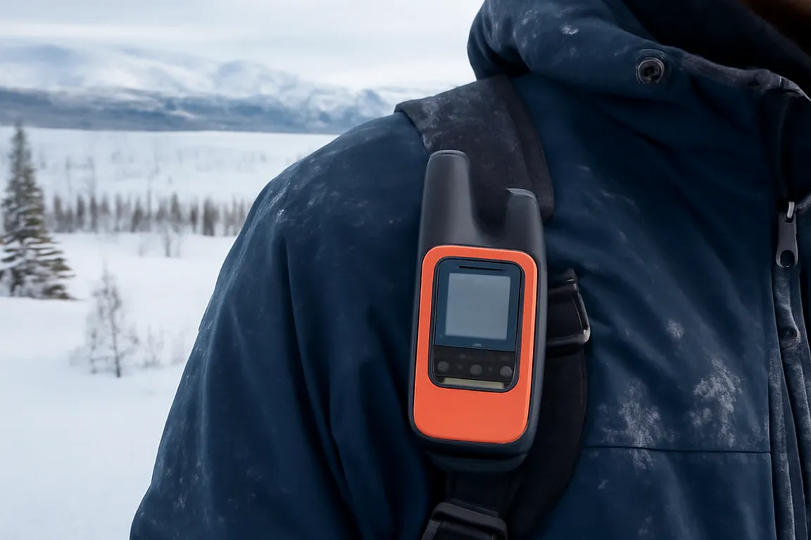
Tip: Choose a device that matches your specific needs—whether it’s simple location tracking or full two-way communication—and ensure you are familiar with its operation before venturing out. Practicing with the device in a controlled environment can prevent mishaps in more demanding settings.
Weather apps and climate condition tracking
Weather conditions in Northern Quebec can change rapidly and dramatically. Reliable weather apps are crucial for both residents and travelers to prepare for and respond to these changes. The ability to predict weather patterns can mean the difference between a successful excursion and a hazardous ordeal.
Recommended Weather Apps:
- Windy: Offers detailed weather maps, including wind patterns, temperature, and precipitation forecasts. Its visual interface is particularly useful for those needing a quick yet comprehensive overview of weather conditions. Windy is widely recognized for its accuracy in predicting sudden weather changes, crucial for outdoor safety. In addition, its user-friendly interface allows even novices to interpret complex weather data effectively. The app’s ability to provide extended-range forecasts is valuable for planning longer trips.
- YR.no: Provides precise forecasts tailored to specific locations, crucial in remote areas. This app uses data from the Norwegian Meteorological Institute, known for its accuracy and reliability. YR.no has continued to expand its services to include hyper-local forecasts, enhancing its utility in microclimate areas. These additions have been particularly beneficial in regions with unpredictable weather patterns, such as the coastal zones of Nunavik. The app’s focus on localized weather warnings helps users make informed decisions about their travel plans.
- WeatherCAN: Integrates data from Canadian weather stations, ensuring accurate local forecasts. This is particularly beneficial in regions with unique microclimates that may not be covered by international weather services. The app’s real-time alerts have been praised for their role in preventing weather-related accidents among travelers. Its integration with Canada’s national weather warning system offers users a reliable source of critical information.
For those traveling to or living in regions with extreme weather, such as Nunavik, it’s beneficial to use apps that incorporate data from local sensor networks. The connected weather stations and ice road safety network in particular can be critical for planning safe travel routes and timing when considering ice road conditions.
Common mistake: Ignoring local weather warnings can lead to dangerous situations. Always check the forecast before planning outdoor activities. Additionally, understanding local terminologies through resources like the lexicon of 30 essential Nunavik and Eeyou Istchee terms can aid in interpreting weather advisories.
Managing battery life and extreme cold
The extreme cold of Northern Quebec can quickly drain device batteries, making power management a critical concern. Without proper preparation, digital tools can become inoperative just when they are needed most.
Battery Performance by Temperature Range:
| Temperature | Typical Smartphone Battery Life | Recommended Mitigation |
|---|---|---|
| Above 0°C | Normal (full day) | No special precaution needed |
| -10°C to 0°C | Reduced by roughly 30-40% | Keep device in an inner pocket |
| Below -20°C | Reduced by 60% or more | Insulated case + external battery pack |
| Below -30°C | Risk of unexpected shutdown | Store device against body, use only briefly |
Strategies to Prolong Battery Life:
- Use Battery Packs: Carry portable chargers and solar-powered battery packs. These can be crucial during multi-day treks where access to power is limited. Solar-powered options have become popular among eco-conscious travelers, providing sustainable energy solutions. These devices often include multiple charging ports, allowing for simultaneous charging of essential devices. Users have shared stories of using solar panels during hikes, effectively extending their device’s battery life.
- Optimize Settings: Lower screen brightness and disable unnecessary background apps. This can extend battery life significantly, allowing for prolonged usage in critical situations. Simple adjustments like these can meaningfully improve battery performance in cold environments. Users have reported that simple tweaks, such as enabling airplane mode, can further conserve energy. The ability to customize settings based on daily needs offers flexibility in maintaining device functionality.
- Keep Devices Warm: Store devices close to your body or in insulated cases to prevent cold-induced battery drain. This simple step can preserve battery longevity, ensuring devices remain operational in sub-zero temperatures. Many travelers now use custom-made pockets in their clothing to keep gadgets warm and ready for use. This practice not only extends battery life but also ensures that vital communication tools are accessible when needed.
Tip: Invest in high-capacity power banks and consider devices with extended battery life to ensure functionality in remote conditions. Brands such as Anker and Goal Zero provide reliable options that have been tested in extreme environments.
Local community and cultural applications
Understanding and respecting local customs and languages is essential when engaging with Northern Quebec’s communities. Several apps and tools can facilitate this understanding, promoting cultural exchange and respectful interactions.
Recommended Apps:
- Inuktitut Pro: An app designed to help users learn the Inuktitut language, promoting better communication and cultural respect. This can enhance interactions with local Inuit communities, fostering mutual understanding and respect. Inuktitut Pro has seen growing downloads in recent years, reflecting increasing interest in cultural literacy. The app includes audio pronunciation guides, making it accessible even for those new to language learning. Its interactive lessons cater to different learning styles, ensuring broader accessibility.
- Nunavik Cultural Guide: Provides insights into local traditions, festivals, and etiquette. For instance, understanding the significance of events like the Ivakkak dog sled race can enrich the experience of visitors and foster deeper connections with the community. The app also offers updates on community events, allowing users to participate more actively. With interactive maps, users can explore cultural landmarks virtually, planning visits with detailed historical context. The guide’s focus on storytelling helps users connect with the region’s heritage on a personal level.
For a broader understanding, consider familiarizing yourself with the lexicon of 30 essential Nunavik and Eeyou Istchee terms, which can be a valuable asset for effective communication and cultural appreciation.
Emergency communication and safety tools
Safety in remote areas is paramount. In addition to satellite communicators, there are specific apps and tools designed to enhance emergency preparedness and response. These tools can provide vital information and assistance when traditional means are unavailable.
Essential Tools:
- Life360: A family locator app that provides location sharing and alerts. This app is particularly useful for families traveling together, ensuring everyone can be located easily in case of separation or emergency. Life360 has continued to introduce enhanced privacy features, making it a safer choice for group tracking. The app also allows for the setting of geofencing alerts, notifying users when family members enter or exit predefined zones. Its integration with emergency services has been credited with improving response times in critical situations.
- Red Cross First Aid: Offers offline access to first aid information and emergency procedures. Having this information readily available can be critical in situations where medical help is not immediately accessible, allowing for effective on-the-spot care until professional help arrives. The app’s offline capabilities have continued to expand to include detailed video tutorials, providing users with step-by-step visual guidance that can be crucial in high-stress situations. Users have praised the app’s role in improving emergency preparedness, particularly in remote environments.
Key takeaway: Equip yourself with reliable emergency communication tools and ensure you understand how to use them effectively in case of an emergency. Familiarizing yourself with these tools in advance can save valuable time during a crisis.
Recommendations by profile: resident, visitor, professional
Different users have varying needs based on their roles in Northern Quebec. Here are tailored recommendations for residents, visitors, and professionals.
Resident:
- Mapping: Use Gaia GPS for detailed, offline navigation, which is crucial for daily commutes in remote regions. Its map updates continue to include more detailed local paths and trails.
- Weather: Install WeatherCAN for localized forecasts that cater to specific microclimates.
- Communication: Opt for Garmin inReach Mini for reliable messaging, ensuring consistent communication even in the most isolated areas.
Visitor:
- Accommodation: Plan stays using resources like accommodation and stays in remote Quebec regions to find suitable lodging that respects local environments and communities.
- Cultural Apps: Download the Nunavik Cultural Guide to enhance your experience and gain deeper insights into local customs and practices. The guide offers interactive features to help visitors engage with local events.
- Safety: Equip yourself with SPOT X for peace of mind during outdoor activities, ensuring you can alert authorities if necessary.
Professional:
- Tools: Bivy Stick for connectivity on expeditions, allowing for seamless communication and navigation. The device’s integration with mapping apps has continued to improve, offering more functionality.
- Data: Leverage connected weather station data for accurate environmental monitoring, crucial for research and planning purposes.
- Travel: Refer to the responsible travel guide to Nunavik for insights on sustainable practices, ensuring that your presence has a positive impact on the environment and local communities.
By selecting the right tools and apps, navigating the challenges of Northern Quebec becomes more manageable, ensuring a safer and more enriching experience for all users.
Frequently asked questions
Which mapping apps work offline in Nunavik?
Apps that allow pre-downloading detailed maps (terrain, trails, points of interest) are essential, since cellular coverage disappears quickly outside villages.
Is a personal satellite communicator necessary when traveling in the Far North?
Strongly recommended for any travel outside villages, since it allows sending your position and triggering an emergency alert even with no cellular network at all.
Which weather apps are the most reliable for the region?
Apps that integrate local station data and forecasts specific to the arctic climate offer greater reliability than generic weather apps.
How do you manage device battery life in extreme cold?
Extreme cold significantly reduces lithium battery life; it is recommended to keep devices close to the body and use thermally insulated external battery packs.
Are there specific apps developed for Inuit and Cree communities?
Yes, some community and cultural apps are developed locally for language, traditional navigation or community information sharing.
What tools should be recommended to a professional who travels frequently in the North?
A combination of offline maps, a satellite communicator, a reliable weather app and insulated external batteries forms the recommended baseline digital kit.