
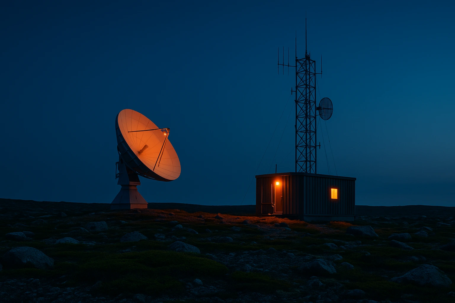
In Nunavik and Eeyou Istchee, a heart attack, a snowmobile fallen through an ice crevasse or a house fire in an isolated home leaves no margin for error. Rescuers almost always arrive by plane, snowmobile or boat, sometimes after hours of travel. In this context, communication is not just a technical convenience: it is the thread that connects a person in distress to first responders, southern hospitals, municipal authorities and loved ones. Yet the infrastructure most Quebecers take for granted, roads, 911, cellular service, DSL, does not exist in the same way in these territories. Understanding how emergency networks operate north of the 55th parallel helps organizations, travelers and residents prepare differently.
Why emergency communications are a sovereignty issue
Nunavik covers about one third of Quebec. Fourteen coastal villages, no inter-community roads, a climate where storms can close airports for several days, and a population of about 14,000 spread across an area comparable to France. Eeyou Istchee, for its part, brings together Cree communities around James Bay and the Jamésie territory, with similar coverage and access challenges. In these conditions, the ability to alert, coordinate and direct rescue is a form of operational sovereignty. Without a reliable link, a community cannot manage its own emergencies.
This reality has immediate practical consequences. A clinic that loses connectivity can no longer practice telemedicine with Montreal. A police service that misses a call cannot mobilize first responders. A hunter injured outside cellular coverage must be able to send a distress signal through another channel. Investment in critical networks, fiber optics, satellite, VHF radio, personal beacons, is therefore not a modernization question. It is about maintaining public safety under extreme conditions. The underlying digital infrastructure is the first layer on which all these emergency services rest.
Regional operators and local administrations have worked for years to reduce these vulnerabilities. The gradual arrival of undersea and terrestrial fiber, combined with low-Earth orbit constellations, is changing the picture. But these improvements remain uneven from village to village. The resilience of an emergency network is not measured by maximum throughput during off-peak hours, but by its ability to function when everything else becomes difficult.
Who answers emergency calls in Nunavik and Eeyou Istchee
Emergency response in Nunavik relies on several partners. The Nunavik Police Service (NPS) provides public safety in all fourteen villages. It is responsible for ground search and rescue operations and coordinates interventions with firefighters, first responders and health services. Until recently, police officers answered service calls themselves, a situation that the CNESST ruled non-compliant with Quebec’s occupational health and safety law after the death of Constable Steve Déry in 2013.
Since 2024, a pilot emergency call centre has been handling calls for six Nunavik villages. Communications travel over Tamaani fiber-optic service to the City of Saint-Eustache emergency call centre. Dispatchers there follow provincial standards, provide service 24 hours a day, 7 days a week, and have access to Inuktitut translation for callers who are not comfortable in French or English. The villages concerned are Kuujjuaraapik, Umiujaq, Inukjuak, Puvirnituq, Ivujivik and Salluit. The remaining eight communities are expected to be connected gradually by the end of 2029.
The emergency number has not changed: it remains the usual 10-digit NPS number, (819) _ _ _ – 9111. The dispatcher asks the standard questions: where, what, who, when, why. They dispatch the appropriate resources simultaneously, police, firefighters, paramedics, and can request additional information without tying up an officer in the field. This centralization reduces the time needed to obtain additional resources and allows calls to be recorded for training and continuous improvement.
In Eeyou Istchee, the structure differs. Cree communities have their own police services, such as Cree Police, and collaborate with the Sûreté du Québec for criminal investigations and situations beyond local resources. The Cree Nation Government of Eeyou Istchee plays a regional coordination role, particularly in public health, environment and critical infrastructure. The exact emergency response modalities vary by community, but dependence on mobile telephone, fiber-optic and satellite networks is common across the entire territory.
Which technologies carry critical networks in the Far North
Critical communications in Nunavik and Eeyou Istchee never rely on a single technology. Diversity of means is itself a form of safety.
Tamaani fiber optics forms the terrestrial and undersea backbone. Initially deployed to four Hudson Bay communities, it provides the latency and bandwidth required for institutional services, including the emergency call centre. Its presence transforms a community’s ability to host local digital services and maintain voice quality sufficient for emergency calls.
Satellite remains essential for villages not yet connected and for travel outside inhabited areas. Low-Earth orbit constellations such as Starlink and the future Telesat Lightspeed network deliver far higher speeds than traditional geostationary satellite and cut latency from 600 milliseconds to a few tens of milliseconds. This improvement makes telemedicine, videoconferencing and emergency data transmission far more viable. But these systems remain sensitive to storms, line-of-sight obstruction and power supply issues.
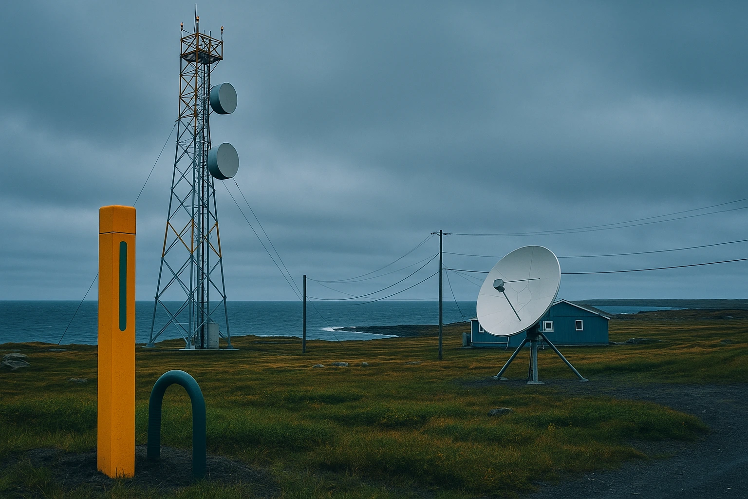
VHF radio and amateur radio operators supplement these networks. They work without centralized infrastructure, travel well across open spaces and remain operational when cellular and Internet fail. Many northern communities have community radio stations that serve as alert channels, weather broadcasters and points of contact during crises. The habit of listening to local radio remains an important reflex in villages where digital coverage is capricious.
The weak links of winter’s last mile
Cellular coverage in Nunavik generally stops at the edge of the village. 4G towers serve the inhabited perimeter but have no intermediate relays on ice roads, snowmobile trails or hunting grounds between communities. Mobile 4G/5G coverage is therefore insufficient for anyone leaving the village, even a few kilometres away.
This discontinuity creates dangerous dead zones. A hunter injured a few dozen kilometres from the village cannot call by cell phone. A snowmobile in trouble on an ice road cannot transmit its exact position without another device. Winter conditions amplify the risk: extreme cold drains batteries, winds carry signals away from transmitters and blizzards prevent rescuers from moving.
Ice roads and snowmobile trails are a special case. They link villages during part of the year, but their condition changes daily. Ice thickness, open water leads, snow drifts and sudden temperature shifts can turn a routine trip into a critical situation. That is why communities increasingly use connected weather stations, GPS beacons and local broadcast channels to inform travelers in real time.
The spring breakup and runoff season brings its own communication problems. Terrestrial infrastructure, masts and antennas can be damaged. Rescue aircraft may be unable to take off. Local teams must then rely on their own resources, generators, fuel reserves, portable antennas, until conditions return to normal.
The role of personal satellite communicators and distress beacons
Outside cellular coverage, the personal satellite communicator becomes the survival tool of choice. Devices such as the Garmin inReach, ZOLEO Satellite Messenger or SPOT beacons operate on satellite networks, mainly Iridium for the first two. They let users send predefined or custom text messages, share a real-time GPS position and trigger an SOS alert relayed to an emergency response centre.
These devices have several advantages in the northern context:
- They do not depend on terrestrial coverage, so they work on the tundra, ice and coastal waters.
- Two-way messaging lets users describe the nature of the problem and avoid unnecessary rescue deployments.
- GPS tracking makes it possible to locate someone in distress precisely, even if they cannot describe where they are.
- The SOS alert is handled by a coordination centre that contacts the appropriate local authorities.
- Subscriptions remain affordable, often between CAD 20 and 60 per month depending on service level.
Limitations exist, however. Intense cold reduces battery life. The antenna needs a clear view of the sky. An accidental or inadvertent SOS call mobilizes resources. Parks Canada recommends handling these devices carefully to avoid false alerts, which have already triggered unnecessary search and rescue operations in the Canadian North.
Comparative table of emergency communication technologies
The choice of technology depends on the use case: institutional communication, individual travel, mass alert or rescue coordination. The table below summarizes the main options available in Nunavik and Eeyou Istchee.
| Technology | Coverage | Latency | Main advantage | Main limitation |
|---|---|---|---|---|
| Tamaani fiber optics | Connected villages | Very low | Reliability and bandwidth for call centres | Requires costly terrestrial or undersea infrastructure |
| Geostationary satellite | Entire territory | High (600 ms) | Established regional coverage | Low speeds, weather sensitive |
| LEO satellite (Starlink, Telesat) | Anywhere with sky view | Low (30-50 ms) | High bandwidth, rapid deployment | Dependence on foreign operator, cost and congestion |
| Mobile 4G/5G | Mainly inside villages | Low | Simple use with a standard phone | No coverage outside inhabited areas |
| VHF radio / community radio | Local to regional depending on power | Negligible | Works without centralized infrastructure | Limited range, requires equipment and training |
| Personal satellite communicator | Global with sky view | Variable | Geolocated SOS and messaging outside cellular coverage | Battery, subscription, line of sight to sky |
This table shows that no single technology is enough. Fiber optics supports institutional emergency centres, but it does not follow a hunter onto the ice. LEO satellite improves Internet access, but it does not replace a pocket emergency communicator. Community radio broadcasts an alert through the village but does not reach a lone person dozens of kilometres away. Resilience strategy means layering several technologies.
How organizations can strengthen resilience
Municipalities, clinics, cooperatives and businesses in the North have every interest in designing their emergency plans on the assumption that the primary network will fail one day. This “design for failure” approach requires a few concrete measures.
- Diversify network access. Maintain at least one link independent of the main fiber, such as a LEO satellite terminal, and test automatic failover regularly.
- Plan backup power. Generators and uninterruptible power supplies must cover critical equipment, including routers, telephone servers and radios, for as long as an intervention may take.
- Document procedures off-line. Print emergency contact lists, evacuation procedures, continuity plans and critical access codes. Paper does not crash.
- Train staff on alternative tools. Run annual exercises with satellite communicators, radios and alert procedures. Muscle memory matters as much as documentation.
- Secure critical systems. A cyber incident, ransomware or backup failure can neutralize a call centre or clinic at the worst possible time. Cyber risk analysis should be part of the emergency plan.
Coordination with local authorities and police services is another pillar. Knowing direct numbers, search and rescue trigger procedures and air evacuation capabilities saves precious minutes. Organizations should also integrate data from connected weather stations into their decision-making, especially before sending teams onto ice roads or snowmobile trails.
What Soleica sees in the field
At Soleica, we have supported municipalities, cooperatives and organizations in Nunavik and Eeyou Istchee for more than fifteen years in designing, deploying and maintaining their digital infrastructure. We see the difference between a village with stable fiber optics and a documented continuity plan, and one dependent on a single shared satellite link for the administration, clinic and school.
The most effective interventions share three characteristics. First, they do not stop at hardware installation. They include training for local teams, clear documentation and regular exercises. Second, they provide backup means independent of the primary network. Third, they involve close collaboration with local emergency services, who know the realities of the terrain.
Digital transformation of public services offers tremendous opportunities in the Far North. It brings communities closer to government services, reduces response times and helps preserve languages and cultures digitally. But it also requires designing systems that work when cold, storms or power failures make normal operations impossible. For organizations that want to go further in planning their critical digital infrastructure, the resources offered by Code Your Web provide a useful framework for structuring technology project governance in a northern context.
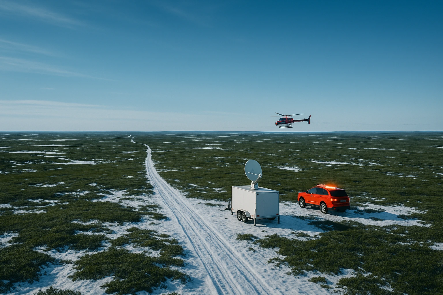
The next decade will likely see fiber optics extended to more villages, new satellite constellations launched and more precise location tools deployed. These advances will not replace local judgment, individual preparation and community solidarity. They will simply extend their reach.
Frequently asked questions
Can you dial 911 in Nunavik in 2026?
No. Bell Canada does not provide 911 service in Nunavik. The Nunavik Police Service (NPS) remains reachable at the usual 10-digit number, (819) _ _ _ – 9111. Since 2024, emergency calls from the six villages served by Tamaani fiber-optic service have been routed to the Saint-Eustache emergency call centre, which has trained dispatchers available 24 hours a day, 7 days a week, with access to Inuktitut translation.
Which Nunavik villages are connected to the Saint-Eustache emergency call centre?
In 2026, the service is operational for Kuujjuaraapik, Umiujaq, Inukjuak, Puvirnituq, Ivujivik and Salluit. The Nunavik Police Service aims to extend the service gradually to the remaining eight communities by the end of 2029, subject to the arrival of fiber-optic service or an equivalent reliable link in each community.
What communication device should you carry in isolated territory outside cellular coverage?
A personal satellite communicator such as a Garmin inReach or ZOLEO is the reference device. These units run on the Iridium network and allow you to send text messages, share a GPS position and trigger a geolocated SOS alert even where there is no mobile coverage at all. A SPOT distress beacon is also an option, though it often lacks two-way messaging.
Why does fiber optics change the game for emergency calls?
Before Tamaani fiber-optic service arrived, Nunavik police officers answered service calls themselves, exposing them to occupational risks documented by the CNESST in 2013. Fiber provides the latency and stability needed to hand call dispatch over to a specialized centre in Saint-Eustache, meeting provincial standards and occupational health and safety requirements.
How can Northern organizations strengthen resilience during a network outage?
Three lines of action. First, redundancy: maintain an independent satellite link, backup power and a documented continuity plan. Second, training: know how to use satellite communicators, radios and alert procedures without relying on cellular service. Third, preventive maintenance: regularly inspect antennas, batteries and critical backups before winter, when response operations are hardest.